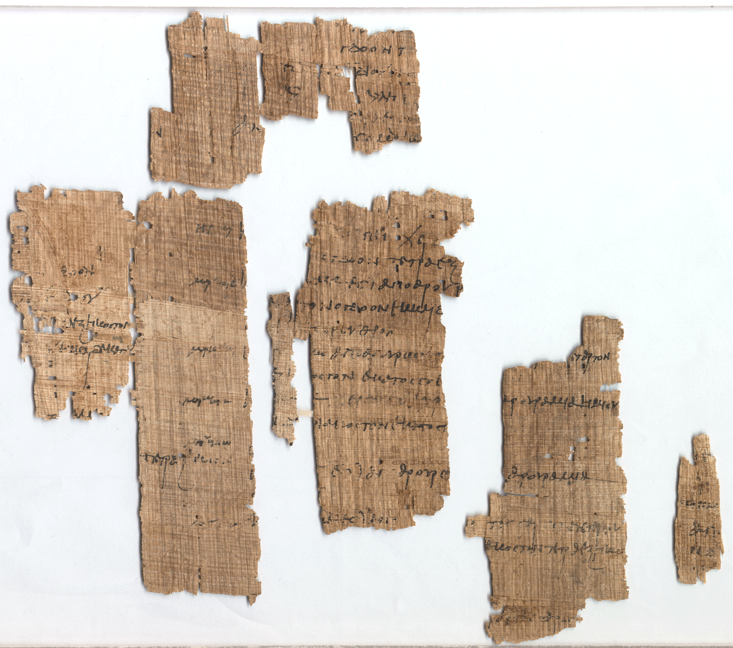
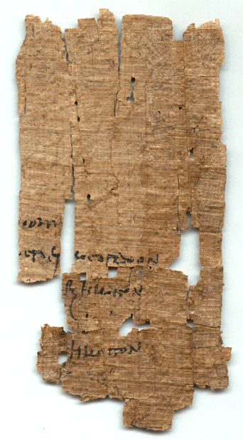
Fragments of a land declaration from Panopolis, part of the archive of the lawyer Ammon, listing small fractional holdings in numbered land units (koitai) of the Panopolite nome, including the Upper toparchy. The land is classed as sown or dry, and units are associated with the names Marc[…] and Zoil[…].
In English machine translation
[column 1]
[…]
[…] eighth
[…] […]
[…] sixty-fourth
[…] sixteenth
[…]
[…] sixty-fourth
[…]
[column 2]
[…]
[…] eighth sixty-fourth […]
[…] of the plain (?) […]
[…]
[…] sixty-fourth […]
Upper toparchy, likewise: […]
[…]
Her[…] and koites […] of dry land […]
[…] eighth sixty-fourth […]
Marc[…] and Zoil[…], koites […] sown, out of arouras […]
quarter eighth sixteenth […]
[…]
Marc[…] and koites […] out of arouras […] quarter
sixty-fourth one-hundred-twenty-eighth […]
Marc[…] and Zoil[…], koites […] of dry land, out of arouras […] one and a half arouras […]
[…] thirty-second one-hundred-twenty-eighth […]
Marc[…] and Zoil[…] […]
koites […] sown, out of arouras […] one aroura
[…]
Marc[…] and Zoil[…], koites […] sown, out of 4 1/4 arouras
[…] thirty-second sixty-fourth […]
[…]
[…] 4 arouras […]
[fragment a]
[…]
[…] one-hundred-twenty-eighth
[…] sixty-fourth
[…]
[…] sixty-fourth
[…]
[fragment b]
[…]
[…] out of […]
[…]
Koites (koite) is a Panopolite term for a numbered basin or unit of land; the names Marc[…] and Zoil[…] likely identify the units, though one description calls them surveyors. Some records date the text to AD 299 instead of 303.
Working translation of the DDbDP edition, made with Claude Opus 5.5 from the edition and the catalogue records shown below (catalogued as Bruchstücke einer Landdeklaration). It has not been reviewed by a papyrologist: check the edition before citing. Restorations follow the edition; […] marks lost text and (?) an uncertain reading.